comparative Lake Calumet, 1889 vs. 1973 vs. 1927
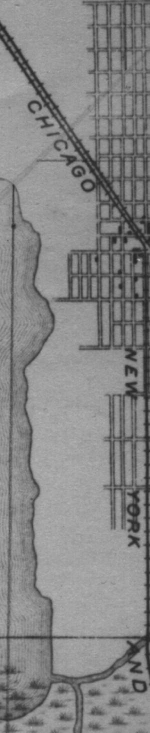
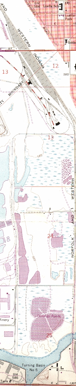
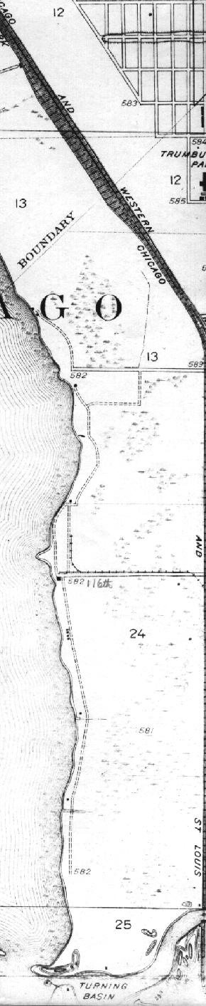
These are portions of the U. S. Geological Survey's 1889 Calumet, Illinois-Indiana, 15' and 1973 & 1927 Lake Calumet, Illinois-Indiana, 7½' topographic quadrangles. These strips of land include eastern Lake Calumet. Click on an image to see central Lake Calumet again.
I am sorry but these images are not appearing quite as I had intended. I will correct that once I crack the HTML books again.
Return to the main Lake Calumet comparison page.
Return to the Calumet maps page.
This page is at https://calpartner.tripod.com/maps/lakecal/lcalc.html.
Updated 23rd October, 1999, & improved 13th October, 2000.
Posted for the Calumet Heritage Partnership.