T 37 N, R 10 W, 1835 plat
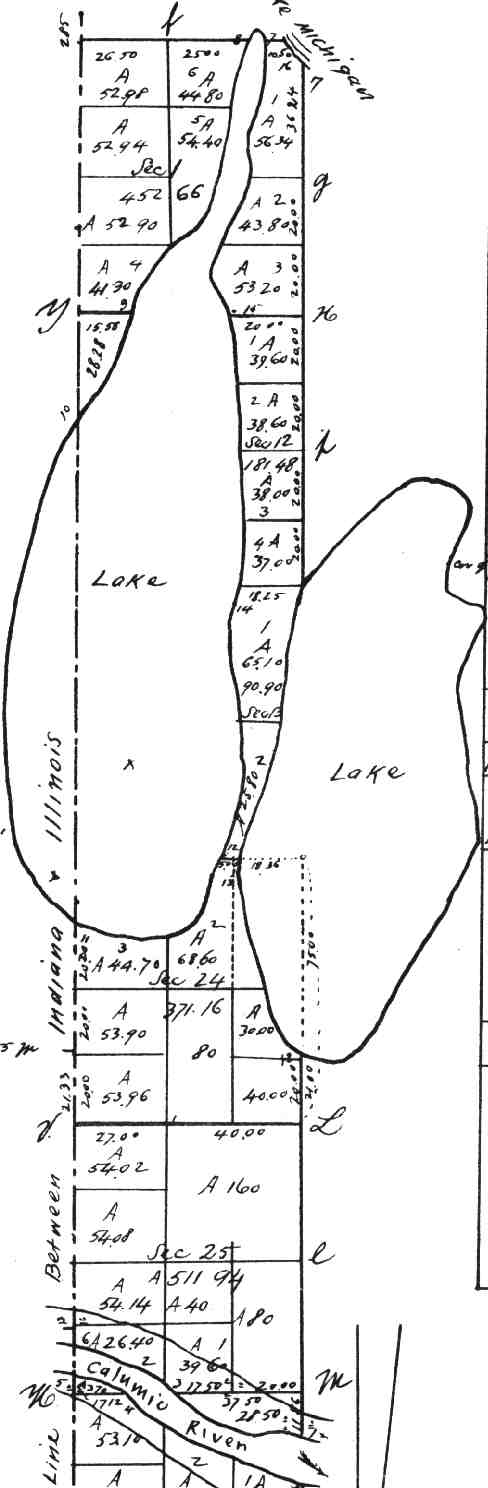
This is a portion of the original 1835 survey of northwestern Indiana, including Wolf Lake and Lake George.
Return to the Calumet maps page.
This page is at https://calpartner.tripod.com/maps/calumetd.html.
Updated 23rd October, 1999.