comparative Lake Calumet, 1889 vs. 1973 vs. 1927
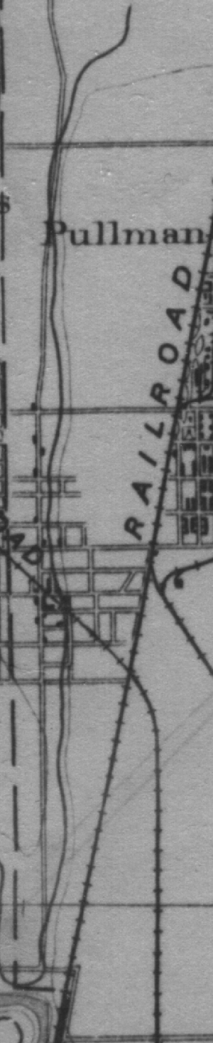
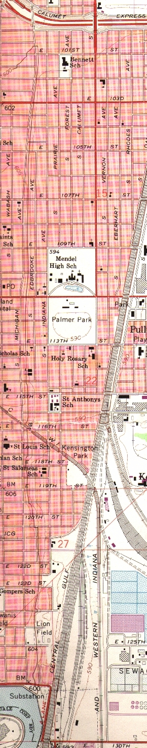
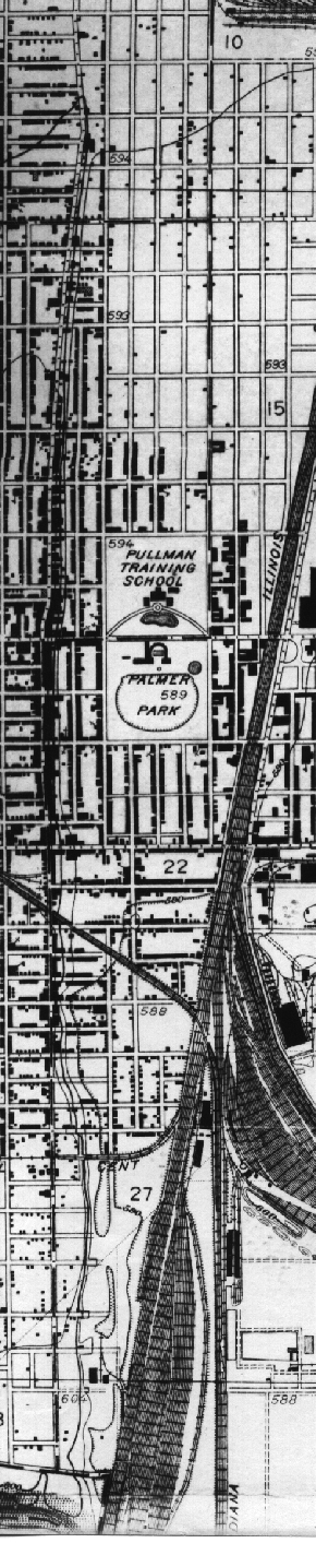
These are portions of the U. S. Geological Survey's 1889 Calumet, Illinois-Indiana, 15' and 1973 & 1927 Lake Calumet, Illinois-Indiana, 7½' topographic quadrangles. These are the strips of land west of Lake Calumet. Click on an image to see western Lake Calumet.
Return to the main Lake Calumet comparison page.
Return to the Calumet maps page.
This page is at https://calpartner.tripod.com/maps/lakecal/lcala.html.
Updated 23rd October, 1999, & improved 13th October, 2000.
Posted for the Calumet Heritage Partnership.